Tracking Uttarakhand's rare medicinal herbs with smart sensors across diverse elevation zones — from 400m plains to 2,300m Himalayan peaks.
Uttarakhand, often called the 'Natural Pharmacy,' hosts over 1,748 species of medicinal plants. Many hold significant ecological, medicinal, and commercial importance — making scientific mapping and conservation essential.
These herbs grow in high-altitude Himalayan zones and are traditionally used in Ayurveda, Unani, and local folk medicine. Due to climate change, excessive harvesting, and habitat loss, several species are now at risk.
Each significant cluster of rare flora is geo-tagged to prevent illegal poaching and monitor seasonal growth
AI-powered recognition of endangered herbs and superfruits using image and environmental data
Using historical data and sensor inputs to predict hotspots where rare herbs might emerge
A critically endangered herb prized for its essential oil used in treating neurological disorders.
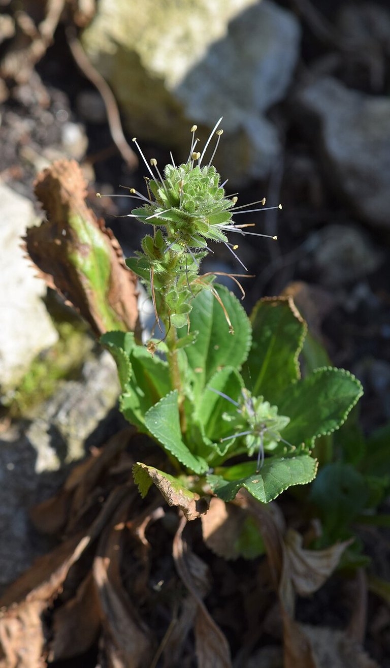
Small perennial herb for liver ailments and immune-boosting. Under threat from habitat loss.
Roots remedy for high fever and digestive issues. One of the most expensive rare herbs in the market.
Terrestrial orchid whose root tubers are used as a tonic. Strictly protected under CITES.
Sacred herb, treats respiratory ailments and enhances immunity. Found near water bodies.
Anti-cancer properties, used in traditional Ayurvedic medicine. Found in Ramnagar zone.
Known for its sedative and anti-anxiety properties. Found in Mukteshwar & Ramgarh belt.
Rare resin-producing plant used in heart and cholesterol treatments.
Aromatic oils & respiratory medicines
Widely used in incense and religious rituals
Rare medicinal shrub — Mukteshwar region
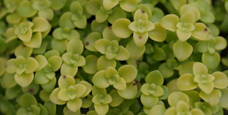
Bhimtal region — traditional uses
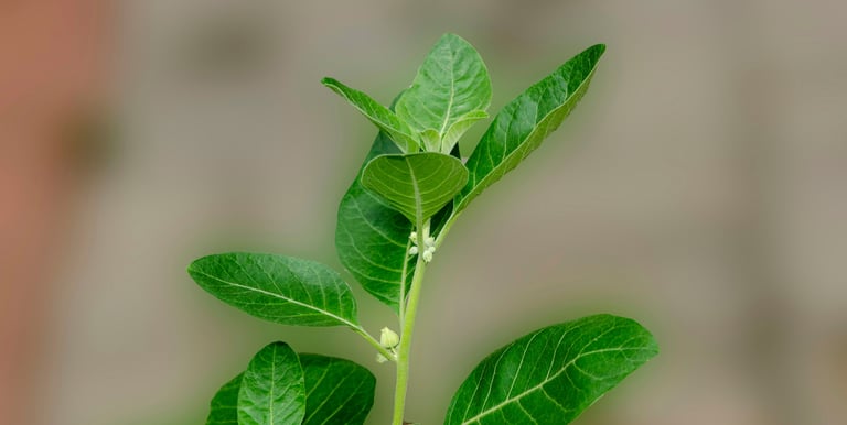
Immunity-boosting, transition zone
Shady rocks — Betalghat region
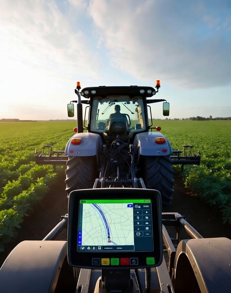
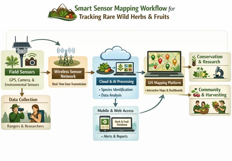
IoT sensors provide live GPS tagging and environmental data for precise herb locations across all forest zones.
Artificial intelligence analyzes plant data to identify and monitor endangered species with high accuracy.
Forest rangers and researchers submit real-time observations via mobile app, enriching the mapping database.